Dear Diary,
This part's title is actually untrue: I've recently made five hikes to this part of Ravenna. So let's hurry up and get started. Here's the map:

One thing I want you to notice on that map, dear Diary, is that dozens of homeowners north-northeast of Ravenna Park don't have back yards, they have back forest, and near as I can tell (this was the topic of today's hike), they pretty much don't treat it as their property. That doesn't mean they want you hiking into it, but does mean that in every case I got the chance to look at, there's a pretty sharp dividing line between the areas they actually use, and the areas they seem to be aware they're stewards of.
Today's hike was also a lesson in the reliability of Open Street Map. Those gray blotches reproduce OSM's map as best I could, because it checked out everywhere I was able to look.
On October 8 (hike #1), I went and visited most of the properties I knew to belong to the City of Seattle in the entire region, including this piece of it.
Olga Park (RB9 on map)
As before, I've numbered the blocks of Ravenna Boulevard with the numbers I used, counting from Ravenna Park towards Green Lake Park, in "Ravenna Boulevard", a much earlier page in you, dear Diary.
I'd forgotten in writing the previous part of this page that I did take one photograph of Ravenna Boulevard, of the specific extra-wide block of it that has the separate name Olga Park. I took it because I was pleased to see that when Olga Park was swept, they didn't also sweep the sign declaring that name:

Ravenna Park
On this hike, I didn't take many photos in this park, other than of the water fountains and restroom doors. (As in past hike series, the photos are in a shared folder at my Google Drive.) I know perfectly well that I've shown you lots of photos of Ravenna Park in the past, dear Diary. But I was pleased to notice that the alleged construction near the shelter there a) is supposed to be completed fairly soon and b) at the moment isn't fencing off the actual shelter.

Also, you may find this photo of just how the water fountain in "lower" Ravenna Park is malfunctioning mildly amusing:

Also, this time I found about about Ravenna Triangle, a tiny Seattle Department of Transportation property at one of the southeastern corners of gigantic Ravenna Park. Notice two things about it, dear Diary: It's nicely landscaped (something SDOT is sometimes good at), and the bench in the photo is on the parks department's side of the property (benches are something I haven't yet noticed SDOT doing).

Ravenna Ravine (A on map)
The core of the area where all those homeowners take care of woods is a reasonably big area where the city does instead. It's in a maze of dead ends and has no plumbing, so I'm not sure I've visited it since May 2020, when I was telling you, dear Diary, about all the parks in the general vicinity of where I then lived.
So here are more photos of Ravenna Ravine, showing that at least here the city's Department of Parks and Recreation has not installed a new water fountain. As before, I found it impossible to get further into the park than a few steps.

One reason I set out, last summer, to visit each city property known to me, was that I wanted to find all the Seattle Public Utilities parks. SPU really likes to parkify its properties. But it turns out most things with SPU's name on them in North Seattle are not only not parkified, they're invisible - sewers, standpipes, you name it. However, it sometimes turns out that they're in interesting places, and so it proved this time. Around the corner from the non-entrance to Ravenna Ravine I'd visited this time and before, on 24th Ave, there's a dead end on 61st St. to which I went looking for the fictional address SPU had used, and there I found a sign:

"Habitat restoration. Please do not enter or climb on bank. Thank you!" Now I belatedly realise that this is actually a dead end into one of the private parts of Ravenna Ravine, not the city park. So at least one homeowner is taking stewardship seriously.
Park Home Circle (B on map)
This is a pretty good tiny playground for kids, but really shines at Christmas time, when I hope I'll still be housed. Meanwhile, another photo:

And that was it for my hiking of this area on October 8. I went south and got onto the Burke-Gilman Trail and away.
On October 12 (hike #2), I came to make up for the one area I hadn't reached before sunset on October 8.
17th Ave NE Center Strip
Yes, that's what SDOT calls one of its more boring parks. No fine landscaping here.
Two blocks of this park are in the area on this map, three in the one covered in the next part of this page. I took one photo per block, plus one extra, but that one is south of here. I didn't get the idea of really varying the shots much until the third block, too. Sorry, dear Diary; I hope tomorrow to show you more interesting pictures than these.


On October 14 (hike #3), I came back intending to visit the areas I'd noticed as worth attention on Open Street Map. There was only one of these in this part of Ravenna.
Traffic circle, 17th Ave & 63rd St (C on map)
Wow, wouldn't it be nice if all traffic circles, which I experience as terrifying places where no driver ever signals a turn, were as pleasant as this one! It's got nice landscaping:

nice paths, adding up to a significant chunk of its area, with one nice bench and several things that clearly belong to that genre of street furniture designed primarily so as to be uncomfortable enough that homeless people won't monopolise them, otherwise known as cutting off your nose to spite your face, well anyway, it's got furniture:

And it's even got a Little Free Library:

The safety cone visible in the second photo and the truck in this third are because it's also now got construction nearby. A "sanican" is, in fact, across the street from it. Nevertheless, I found that even as tiny a park as this, even with construction noise, could soothe me, and I recommend it.
So that was the only one I'd noticed on Open Street Map, but as I walked away, I chanced to notice something all on my own. I'm not very observant, dear Diary, so I was pretty proud of finding it.
Battlement bench (D on map)
No bus goes down 63rd St or, for that matter, 21st Ave, so by Seattle logic, no bench is needed on those streets, but someone saw fit to put one there, and not only that, to give people who sat there something to look at. I recommend this one, too, to anyone who comes to these parts to see the traffic circle done right.

Yesterday (hike #4), making my second attempt at the map up top, I noticed something on Open Street Map I hadn't noticed before. Well, actually, a bunch of somethings, so I incorporated them into yesterday's hike. But again, only one was in this map's area:
Ravenna Trollbooth
Given my own interest in fantasy - I long intended to write a history of it - of course I came and looked. It isn't actually very easy to find, but fortunately the artist puts the exact address conspicuously on his website. Anyway, here's a photo:

One result of going six places in Ravenna yesterday was that I forgot to go look more thoroughly at the woods around Ravenna Ravine; another was that I ran out of time to do so. So I finally convinced myself to come back today (hike #5) and do the job right before writing this.
In the first area, every single place I tried was just as obviously private property as it was woods. I didn't think I had any business taking photos.
Turns out the easiest path between the areas where streets contact the woods is through Ravenna Park. So I also investigated two more things I'd noticed in the park as rendered by Open Street Map. One turned out to be a large slab of concrete on the western side of the park. The only obvious thing about it was two basketball hoops; a full court would occupy about a third of the space, and I have no clue what the other two thirds were intended for. The only attractive thing about it was the couple using the basketball hoops, so I took no photos.
The other thing didn't turn out any more attractive, but I figured in case anyone else's curiosity was whetted by "Ravenna Park Sulfur Spring" (F on the map above), I'd better photograph it anyway and save some people the trip.

As I walked away, I did indeed notice a faint smell of sulfur. Huh.
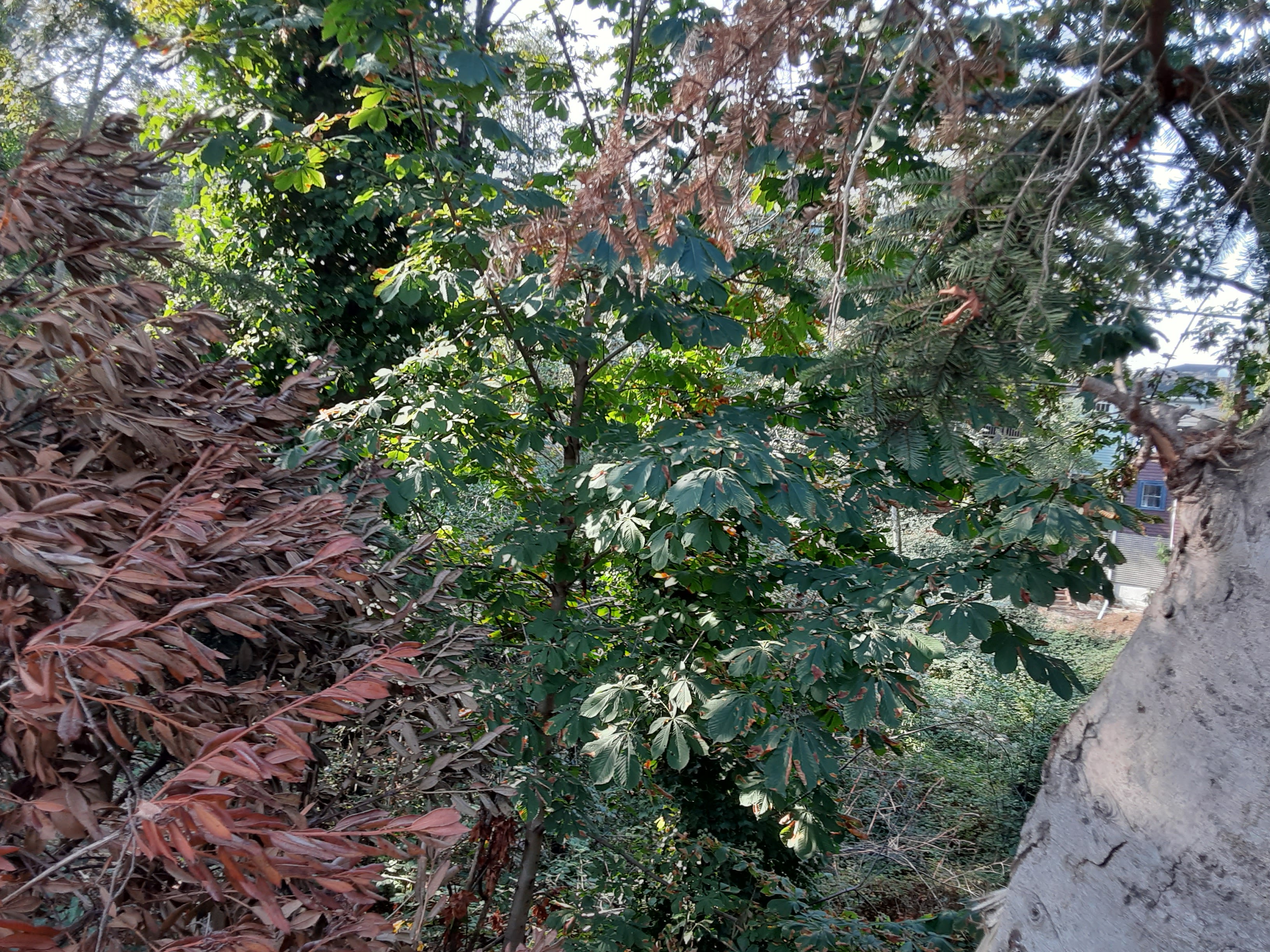
Anyway. There are two bridges at the south end of Ravenna Ave as it reaches the park. One takes people to 61st St northwest of the park, the other to 60th St east of the park. I thought from Open Street Map and what I remembered from the King County parcel viewer (which for some reason won't load on my phone) that those bridges marked the park's boundary. So I took photos looking northish from each of them. This one, G on the map, actually probably looks into private woods:

But once I got home and could look at the parcel viewer again, turned out the other is parks department property, an inaccessible part of Ravenna Park across that bridge from the rest. H on the map.

A railing of the bridge is visible on the lower left of that photo.
The few remaining places on the east side of the woods were as un-photo-worthy as those on the west had been.
Well, all for tonight, dear Diary. Tomorrow I hope to finish, or at least nearly finish, surveying the buildings of UW's Seattle campus, and then come home and tell you about the remaining part of Ravenna. Until then, a good night and a good day.
No comments:
Post a Comment