Showing posts with label shelters. Show all posts

Tuesday, September 3, 2024

Past hikes of North Seattle parks in these pages

Dear Diary,

On December 18, 2024, I decided to update this page, which I originally wrote in you on September 3, 2024.  The original page follows, until the obvious heading announces the update.

Dear Diary,

Ever since I signed up for job-hunting sites, you've been much more popular than you had been in the years when you were actually relevant to people's lives.  So I don't have a clue who reads you any more, and to what extent they're familiar with what I've actually done in the past.

Part of this is my own doing.  I compiled a publication history, 85K of text, put it onto Google Drive, and link to it in some of my resumes and in my LinkedIn profile.  Some of your pages, dear Diary, to which it refers, get visited pretty often.

But with regard to the hikes of North Seattle parks which I resumed yesterday, that history is incomplete.  So here goes.

One reason for this page to exist, besides completeness, is to clarify my terms for these hikes.  Those are, from most to fewest total places visited:  everything hike (trying to visit every park or park-like area); water fountain hike (visiting a list of parks with water fountains); restroom hike (visiting a list of parks with restrooms).

Finding plumbing - a series of 2020 hikes

As you remember, dear Diary, when I started writing you, it was because Seattle's then-mayor, Jenny Durkan, had advised homeless people like me (then) to use the parks' restrooms and water fountains to meet our needs during the lockdowns, but I'd found that the restrooms were often closed, and most of the water fountains weren't running.  Initially I focused on the most obvious parks near where I slept in Laurelhurst, and on Magnuson Park (which isn't near anywhere, but is anyway not utterly distant from there).  However, I eventually became curious:  Was what I was experiencing typical, or was my area an outlier?

At that time, I hadn't gathered many sources of information on Seattle parks.  It didn't take long to become acquainted with the City of Seattle Department of Parks and Recreation's website, which I mined intensively and then critiqued.  But I acquired other sources largely as a result of these hikes.  Also, I quickly found that the website wasn't entirely reliable as to which parks had restrooms or water fountains.  So my goal, in these hikes, became to find absolutely every park in the areas I was hiking, find out whether they had plumbing, and write about them, possibly with photographs.  As a result, many North Seattle parks without plumbing are only documented in your pages, dear Diary, in the pages devoted to these hikes.

When I set out, I hoped to find a border to the "Durkan Drought" quickly, but I never did.  So I ended up hiking all of North Seattle.  By the time I finished that, I sort of had an explanation for the drought, so didn't need to go further.  As it turned out, the area I started from pretty much had a monopoly on closed restrooms, but nearly all the water fountains across North Seattle were shut off.  Strangely, the exceptions, the working water fountains, were geographically clustered.

Before I got all the initial hikes written into your pages, dear Diary, someone stole my phone, with all the remaining photos I hadn't yet shown you.  As a result, I had to re-visit a lot of parks.  Also, as I learnt more, I wanted to re-visit other parks, and added topics (including waterways, street ends, and park shelters).  So the list of pages devoted to this series of hikes is basically a great big mess, which is why I left most of it out of that publication history.  But here it is:

This is not the last time I set out on an "everything hike", but it's the last everything hike I've so far completed.

Checking a plumbing map - January 2021

In December 2020 I became aware of a City of Seattle Department of Human Services map professing to show which restrooms would be open in winter 2020-2021.  I decided to see how accurate it was.  It proved to be a substantially less reliable guide than the list of restrooms the parks department had promised to keep open in winter 2019-2020; in other words, the parks department did nothing differently because of the lockdowns, when it came to winter restrooms.  The pages in you, dear Diary, about these hikes, culminate in "How to Lie to the Homeless", a page with three parts.

This was basically a restroom hike, except that the map also mapped locations where charities had open restrooms, and locations where there wasn't a restroom, but was a "sanican", so the total areas I visited were more numerous than in a normal restroom hike.

All the pages are listed in the publication history.

Regional hikes - May 2021

This was the first series of hikes I tackled while housed.  Hiking housed has both advantages and disadvantages, as compared to hiking homeless.  It's much easier to take buses when I'm not smelly, for example; but it's much harder to get much done, having to go home each night.  When it's raining, it's much harder to set my satchels down and rest, but whether or not it's raining, steering a cart, which does enable rest under most circumstances (because it props my satchels up above the wet pavement), is too annoying.  (The kind of cart I used has endless wheel malfunctions, basically planned obsolescence, near as I can tell.)

So I decided to play to the strengths of housed hiking and do a series of regional everything hikes, visiting most City of Seattle properties, not just parks.  I soon expanded that to park-like places shown, primarily, on Open Street Map.  In May 2021 I more or less finished three regions, the ones headed in the map below with the numbers 43, 32 and 49 (which represent total areas visited).

One ancillary purpose of this series of hikes was to provide at least one photograph of most things, and especially of the many parks of which I hadn't previously shown you, dear Diary, any photographs at all.  So basically, for parks without plumbing, this series is best if the park's region is covered, otherwise the 2020 series above.

Finally, I'd gotten tired of the boring page titles I'd used for the January 2021 hikes, and tried some from a poem.  Those fell spectacularly flat, so I went back to boring titles, and have stayed there ever since, for the most part. 

But it quickly became clear that we were in another year of Durkan Drought (as I would've known if I'd still been homeless), so I switched gears.

The region headed 43

The region headed 32

The region headed 49

Water fountains, year 2 - May 2021

As I said, after three regions it was obvious that there was a new Durkan Drought going on, and it was rather more evil than the previous one.  In 2020, they'd had three plumbers working on turning water fountains on when the lockdowns began, and they just left on the fountains those plumbers had gotten to before stopping.  But by 2021, they'd figured out that homeless people were camping in or near parks in order to get access to the plumbing.  So they carefully turned water fountains on only in parks that didn't have open restrooms.

Late in my work on writing these hikes up I found out the rationale for the droughts.  Durkan's administration had willfully misread the CDC's advice on keeping water fountains clean.  The CDC had explicitly said water fountains should be washed once per day, but someone in Durkan's administration chose to believe that that really meant once per user, and explained (as if it needed explaining) that that was impossible.  No Seattle mayor is friendly to the homeless, but Jenny Durkan really went way out of her way to be hostile to homeless people, and this is just one of many examples.

Quite a few of the pages listed above under the regional hikes contributed to this set of hikes' concern with water fountains, but I don't have time this week to re-read and figure out which ones.

There was a coda to this.  That summer got really hot, and Durkan finally had to back down from her two-year attempt to cure Seattleites of water addiction.

"Foolish mortal" in the title is how I signal that a page corrects mistakes of mine.

Regional hikes redux - October 2022

I tackled two more regions from the eleven mapped above in autumn 2022.  I quickly gave up on the one headed 21 on the map, the far northwest of Seattle, because it was too hard to get there, and because that region had too many green areas on Open Street Map which turned out to be hard and time-consuming to find.  So basically I could get one OSM green area done per day, and that seemed excessive attention to a region that has almost no parks department plumbing.

On the other hand, I did a lot, but not quite all, of the other region, the U-District writ large, the one headed 33 on the map above.  Walking around there made me aware of changes at the UW that seemed to me to add up to an attempt to ensure that people like me, homeless people who'd basically spent our waking hours there before the pandemic, couldn't possibly do that again.  So when I got to campus, I started another series about UW buildings, and completed it for the West Campus, basically west of 15th Avenue NE.  However, this discouraged me considerably, and took so long that the autumn quarter ended, and I'd have to go photograph building hours all over again in January.

So the part of this region that I didn't cover is basically UW's Central and South campuses.  (The East Campus is in the region headed 23, instead.)

Restroom hikes, February to March 2023

On my days off from my last job to date, as a tax preparer, I hiked; and when tax season was over, I wrote the hikes up.  I didn't succeed in visiting all the parks with restrooms before the Seattle Department of Parks and Recreation started opening the closed restrooms back up.

And that's the last hiking I did for you, dear Diary, until Monday, Labor Day, except for what's told here:  Seattle Parks Is Trying to Tell the Truth. Will I Survive the Shock?.  I hope to tell you about Monday's hike tomorrow.  Until then, good night and good day.

Water fountains, September 2024

Well, I wrote up Monday's hike and one more.  But, possibly because I'd chosen mystifying titles, nobody was reading those.  So it was easy to transfer the time I'd intended to devote to them to the page I'd planned about the buses.  And I've had basically no interest, this month, in finding out what's happening to park restrooms this winter.  I'm sorry, dear Diary, but not actually sorry enough to go hiking in the rain.  As other pages in you from earlier this year mention, I'm now in school, trying to put ever more distance between myself and homelessness, and this right now is my last long break before August.

Perhaps then, I'll do what I tried to do this past September:  find what I called then and still would call a "baseline".  Find out how the parks are operating in summer, so that if that winter I hike them again, I'll be able to tell what's different.  For that matter, locating water fountains (which are rather more mobile than restrooms) while the weather is nice.  If I can get that done next August and September, I can in turn realistically do winter hikes, after I graduate, next December.

Anyway.  Here are the two pages:

The first covers most of the parks in NW, the second a couple of parks in far north Seattle.

And while you've probably figured out the point, dear Diary, in case those titles confuse any more readers, you might as well tell them that after my happening on Thyme Patch Park on the first hike, I decided to call the rest of the pages after parks without plumbing that I hadn't visited for way too long.  The second page's title hammers on something I've mentioned to you before, that Seattle actually has parks (those exact two), not that far away, built on reservoir land, but without their own plumbing.

Well, good night, and good days and nights until we meet again, dear Diary.


Sunday, November 13, 2022

Six Hikes in Brooklyn, part V: East

Dear Diary,

This part of this page concerns two hikes, on December 22nd, 2020, and on October 29th, 2022.  In a summary of the hikes two parts ago, I claimed that I'd also visited this area October 16th, and I indeed did walk past it, but the photo I thought was evidence of that visit turned out to be of an area covered one part ago.  (On the other hand, I went and took the photo I thought I'd taken, today.  So maybe not just two hikes after all.)

Since I visited and photographed all of these areas (except one) on each of the two hikes, this goes in the order I visited them in December 2020 (with that one at the end).  I was then pushing a cart, so moving a good bit slower than I currently walk.  So I find that order hard to explain now, but the photos' timestamps prove it's the order I hiked in.  The map:


I asked the person who does "communications" for UW's Facilities Services department for names for four of the parks this part covers.  I got a reply from someone in UW's main PR department, referring me to the university's standard map, which I'd been using for years; evidently he assumed I was eight years old.  Well, I've nevertheless found a name for one of the four.  I'm just calling the rest "courtyard".

That's a problematic name for me.  As you'll see when we get to Central Campus, dear Diary, the UW parkifies a whole lot of its land.  So when I set out to survey the parks of UW, I had to set standards.  And one of those standards was that a single-building courtyard generally had to do more than look good to qualify.

All four of those parks I wanted names for do the same something more:  they all offer seating.  Some do more than that, but they all do that.

We'll start with the one not on Campus Parkway.

Gould Park (Q on map)

This park's name comes from its makers, who were participants in a then nearly new class from the Department of Architecture, a class which is currently called the Howard S. Wright Neighborhood Design/Build Studio.  Inconveniently, the class's Web page is down right now (more precisely, the College of Built Environments' local domain name service in general seems to be down), so I've had to consult Google's cache, and am unable to see their photos of their work.  It's possible that more of the parks of UW, even the ones in this page, are on that list, and I just can't tell.  But anyway, the class started in 1988, took 1989 off, and in 1990 did two projects, the Danny Woo Community Garden in southeast downtown, and this.  (Or maybe one of the 1990 projects was actually the 1989 class's work, delayed.  They also missed 1992 and 1993, and also did two in 2005, but otherwise have one project every year through 2021.)

Again, this specific park's Web page is down too, and I'm going by the Google cache, which says, oddly, that "The benches photographed here have since been demolished."  And here I thought that was vandalism.  It also says this project involved not only architecture students, but also students from the departments of Construction Management and of Landscape Architecture.

Here's the proof that this park, adjacent to Gould Hall, really is the Gould Park referred to:


I like this park much better than the three north of Campus Parkway, so have taken more photos of it, and have just enough room to show you them all, dear Diary.  One thing I really liked in 2020 was that it was a semi-classical design (complete with inspirational quotes which I don't much like), left to fall to ruin in approved classical style.  For example:


And here's more ruin, nearly two years later.  I tried to find the bench with that "V" on it, and am pretty sure it's one of the now-damaged benches in the second photo.


This park is also adjacent to the University of Washington Police Building, but is worth a visit even for people who don't have crimes to report.

Transportation Services Building Courtyard (R on map)

This could be called any number of other things - the Jones Playhouse Hillclimb, for example.  But because the Transportation Services Building's door is at least notionally open, I've chosen to interpret it this way.

Campus Parkway is a reasonably long walk, and it's a place where scads of people wait for buses.  So the fundamental thing parks can offer along it is seating.  The south side of the parkway has wide sidewalks, allowing seating at the bus stops and some away from them.  But on the north side, Schmitz Hall just has a complicated plaza (usually crowded with people using its skybridge or waiting at a bus stop, with some seating); each of the other blocks does something different and park-like with the seating it provides.

In this case, it's combining the seating with, and focusing its attention on, a pretty unnecessary stairway, adjacent to, and actually ending at, the sidewalk of University Way.  But within this space whoever designed it managed also to jam in a fair amount of greenery and two bike racks, one looking rather like an exercise machine.  I'm sorry, dear Diary; the other two Campus Parkway parks don't measure up.  This part is turning out front-loaded with the good stuff.

The first photo is from 2020, the second from 2022.


Olympic Vista (S on map)

This is the only city-owned park in this part, and although, given that this park consists of boulevard islands, it makes sense for it to be City of Seattle Department of Transportation property, I can't help thinking the university was involved in its design.  Two things lead me to this belief, but I'd better show you my photos, dear Diary, before trying to explain then.

There are "vistas" in each of three of the UW's standard parts of campus.  From the top of Rainier Vista on Central Campus, Mount Rainier can in fact be seen on occasion; I've seen it from there myself.  From the top of Portage Bay Vista on South Campus, Portage Bay can easily be seen most of the time.  But as it happens, Olympic Vista's highest point is at its west end, so one can't even look toward the Olympic Mountains, nor, by turning around, does one have much chance to see them.  To put this politely, that name is purely aspirational.

In 2020 I walked this boulevard west to east, taking photos from the east ends of the islands; in 2022 east to west, taking photos from the west ends.

Island 1, Eastlake to 12th Avenues (S1 on map)

This island is actually two blocks long, so I have more photos.  This is from the westernmost edge, from Eastlake, in fact, well above the island itself.  This is the interruption in grass along Eastlake's east side that I mentioned in the last part this block of Olympic Vista provides; this is the photo I took today.


On the west side of Condon Hall, in line with 11th Ave, there's a stair to the ground level, leading toward a paved path across this island.  I think both my December 2020 photos were taken from that path.


Island 1 begins as a forested slope.  Enough of the trees are coniferous that the ground is carpeted in needles, rather than grass.  Toward the east it's rather more like island 2, next.

Island 2, 12th to Brooklyn Avenues (S2 on map)

First, 2022 from the west end, then 2020 from the east end.


We're now in a cultivated woods, with a carpet of grass, sustained by a shortage of conifers.

Island 3, Brooklyn Ave to University Way (S3 on map)

Same order.


We're in a garden.

Island 4, University Way to 15th Ave (S4 on map)

Same order.


And here, we're in a park, verging on a plaza.  See, as Olympic Vista gets closer to the Central Campus, it also gets more civilised.  I find it hard to believe that SDOT just happened to decide to do that.

And in fact, according to University of Washington by Norman J. Johnston, cited in the northern West Campus part of the UW buildings page, pages 104-105, SDOT didn't.  Not that he agrees with me that the existing parkway was in any way planned.

In the 1920s [university] President Suzzallo dreamed of a grand ceremonial route leading from the west and the north end of University Bridge to the university campus.  Difficult to achieve because of the intervening extant residential and commercial properties, it was nevertheless an idea that was given additional clout by its inclusion in the 1948 Campus Plan.  Its completion in 1953 brought University Bridge traffic to the campus, but abruptly so, with only a hint of panache and with no destination clearly established.  Cluttered with utility poles and wires, it is unfortunately aligned visually with the new skylit portion of the Henry's addition, which inauspiciously blurs the parkway's visual axis on the George Washington statue and Suzzallo Library's façade beyond.  At the parkway's western end the irregular plantings of trees (remnants of a 1961 international forestry conference) add to a general dishevelment that does violence to the ambitions Suzzallo had.  This is a parkway leading nowhere.

Wow.  And I thought I was mean.  Anyway, aside from the message I see that the university is a civilising influence, the other thing I saw as evidence for the university's involvement in the design is that those metal benches in island 4 all carry inspirational quotations, with attributions, just like the pavement in Gould Park and a few other things here and there around campus.

Anyway, that's three more or less good parks.  The other three - well, one is closed,  and the other two aren't exactly bad, but don't impress me over much.  To proceed:

Condon Hall Courtyard (T on map)

Remember, dear Diary, I said each of the parklets along Campus Parkway had a different solution to the question of seating along Campus Parkway.  The Transportation Services Building's courtyard says what people need is distraction.  Condon Hall's courtyard says what people need is separation.  I'm pretty sure it isn't actually true that this courtyard is only accessible by climbing stairs - the way land slopes around there, there's probably a wheelchair-accessible route.  But the only way to it from Campus Parkway is up stairs.  Physical removal from the madding crowd.

So I've probably been a little unfair to this parklet because of the stairs, but also, I don't find that solution all that appealing.  My December 2020 photo is slanted, for some reason, but is still probably the fairer of the two to what's there:


It does have wood benches (look against that window) as well as those concrete ones.

Elm Hall Courtyard (U on map)

Elm Hall has a courtyard full of undergrowth, rather than grass, with three paved paths along which there are wooden benches.  So it's oversimplifying to say this, but because by far the most-used benches are those adjacent to the sidewalk, it isn't oversimplifying very much:  Elm Hall's courtyard answers the question of seating along Campus Parkway by saying that what people need is involvement.  Visibility.  To be part of the scene.  I think the Transportation Services Building's courtyard is more successful as a park, but Elm Hall's placement of seating is certainly the most sympatico of the three, for me.

I think in December 2020 those benches were just too popular, and the only photo I could take was the very weird one I have.  So here's a photo from October instead:


I'm pretty sure there are actual benches along the path to the left of that photo, although only one thing visible in the photo even vaguely resembles a bench.  I'm quite sure there are actual benches along a path only hinted at in the photo, well behind the ones in the foreground, between levels of undergrowth.

Note that for all that each of these parks is easily understood as revolving around seating, none dips a toe into the shark-infested waters of sheltered seating.  They all leave that for the bus shelters.

Child Center West Campus Playground(s) (V on map)

I haven't tried to take any photos of this area, locked up as it normally is, and crowded as it often is.

Well, that's it for this part of Brooklyn.  Brooklyn sure has a lot of parks, doesn't it, dear Diary?  I still have four left to tell you about, sometime this week.  Tomorrow, though, I hope to finish photographing the door signage of West Campus, leaving me Tuesday to write up the remaining set of West Campus buildings.  Happy nights and days until then!


Saturday, May 1, 2021

While Strolling in the Parks One Day, part I

Dear Diary,

Ooh, it's just like old times!  I went on a long hike today, and now begin to tell you all about it just as if I were always so prompt.

I decided that since I've yet to start anything in "N" - that is, between "NE" and "NW" - it was time to do so.  Especially since I had errands today on N 45th St and N 36th St, to run along the way.

While I've been working on behind the scenes stuff, dear Diary, I've been re-reading you, and it's been frustrating watching myself keep making rules against taking photos.  So I set off on this hike with the attitude that I must visit each park in my target area, and must take at least one photo at each.  I didn't go so far as to consult the 2021 Seattle real property report, which I just found out has already been released to the public, and which provides the most authoritative list of parks in town, though I'll probably do that before my next long hike.  But anyway I meant to go back to all the parks I already knew about.

This page, and part II tonight, are for the parks from the north side of N 50th St to the Ship Canal, in Wallingford, here defined as lying between Stone Way N and 1st Ave NE.  I do think Wallingford reaches further east than that, but it was much easier to assemble the list of parks without having to check each NE address.  As things are, I'll have to write a part III tomorrow, because I forgot one park and one street water fountain that I did know about.  But here are the ones I didn't forget.

First, however, something of an executive summary:  As of today, several weeks after the weather warmed up, no park water fountain between N 50th St and the Ship Canal was running.  The fountain at B. F. Day Playground, the only one running last October, is not running now.  I didn't test every fountain in Woodland Park, which has several trillion of them, but did try half a dozen, including the only two that ran last October, and none of them ran either.

Between this and other reporting, it looks like our mayor really is waging war against water addiction, as I satirically suggested last year, and it might be summer again before bottles of water stop functioning as currency among the homeless.  Or maybe it'll be that way until all lockdowns end, or at least the mayor's office changes hands.

In the meantime, as we're about to see, the map I made the January hikes to check is now actually out of date as to park offerings for hygiene for this area:


- yes, that's right, the map which lied all winter about restrooms being open that weren't is now omitting restrooms that really are open - but, anyway, the map knows of no other places, charities, libraries, whatever, where people can get water in the region I walked today.

EDIT 5/11:  I figured out today how to insert maps from the Open Street Map project, and may have figured out how to edit them, though not, as yet, how to edit them with precision.  The two maps that follow are an overview of the region, and a map of the area covered in this page specifically, but don't take the inserted letters and numbers in the second map as exact guidance.


Meridian Playground

I've told you and shown you quite a lot about this park already, dear Diary, including my first two videos, because I like it a lot.  I summarised all that January 3 in "Hike 1A:  Inconvenients", and hadn't been back until today.  (Though I did reflect on its hugeness for a "playground" January 6 in "What's in a Name?")  Anyway, knowing this was one park I hadn't stinted, I didn't photograph but the bare minimum this time.  The restrooms were open:


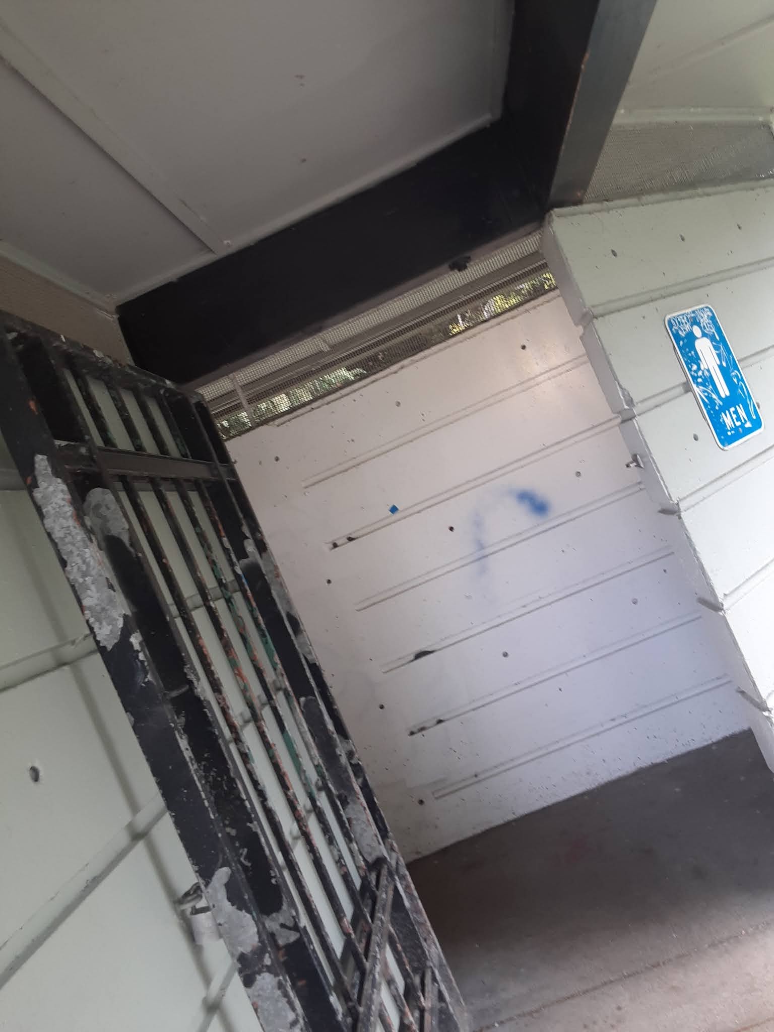
The men's room photo is tilted so as to get the sign, but avoid a man who was lying on his sleeping bag under it.

The water fountain remains in an advanced state of decay:


Yes, that's grass visible through what should be the drain.

The shelter remains inhabited, and having recently pointed out that the campers in Woodland Park seem less secure than they were, I should mention something else that I don't think I've shared with you yet, dear Diary:

The Seattle Department of Parks and Recreation is not accepting reservations for several park shelters, mostly in North Seattle, to wit Gas Works, Ravenna and Woodland Parks, and Meridian Playground.  All but Ravenna Park's shelter were inhabited or in closely related use by homeless people when I surveyed the shelters in my October hikes, and to the best of my recollection also during the January hikes, though those focused less on the shelters.

En route

A block south of the park border on Bagley Ave N stands a "sanican".  It isn't near any visible construction site, so I was curious whether it was a defensive measure put up by neighbours, in which case it would be unlocked, or near a non-visible construction site, in which case it would be locked.  Neither case quite applied:


Not far from there, I found an early work of someone who is obviously a park planner in the making:


Oh, dear, it looks like the sign isn't readable.  It read something like "Please enjoy the dinosaur garden.  Please don't touch."  I was impressed.  Most non-green bits of colour in the photo are toy dinosaurs.

Corliss Place

As previously reported June 8 in "A Shower at Green Lake", this is a traffic triangle.  As previously reported January 6 in "What's in a Name?", it would take a more dedicated park-lover than me to find something nice to say about this park, but anyway here, at long last, is a photo:


Wallingford Playfield

The references for this park are the same, but I've been much less enthusiastic about it, and only started paying my arrears in January.  So I took the same photos as at Meridian Playground, but also the only landscape angle I could find that wasn't full of people:


Unfortunately, the others really are the same photos.  In January, I noticed that the water fountain had been fixed, and allowed myself to hope that there would be park water in Wallingford this year.  Not yet:


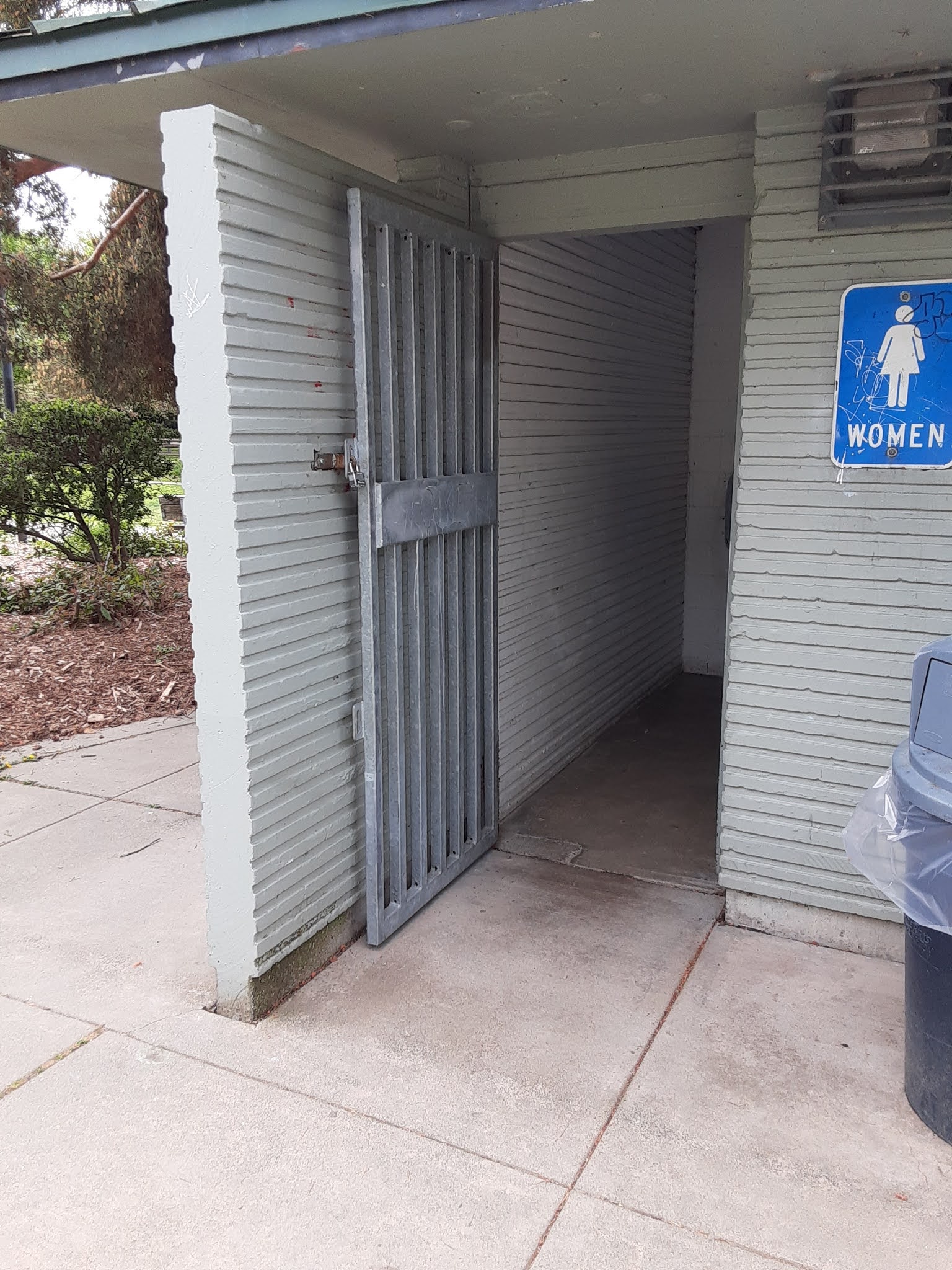
At least the restrooms are open:


The Wallingford Steps

I went through Seattle's 2020 real property report more or less line by line last January, and listed everything in North Seattle I thought might prove more or less parklike.  I found seven places particularly interesting:  they're areas owned by the Seattle Department of Transportation, which classifies them as parks.  The Seattle Department of Parks and Recreation only classifies two of these as parks in its own list, in other words maintains web pages on those two but not the rest.  The Wallingford Steps and Peace Park are those two, and the Wallingford Steps is the only one of the seven in today's target area.

Three parks in Wallingford and Fremont are organised around big height differentials within them.  This is the most determinedly non-ADA, and the fanciest.  I've previously, June 9 in "At the Centre of the Universe, Does Gas Work?", shown you, dear Diary, a picture of these steps' central landing/mosaic, but I haven't tried to show that to you in context, illustrate why the parks department might accept this as a park.  Here's a try:


And that's where this page had better stop, dear Diary, because I have a bunch of photos of the next few parks, and Blogspot gets cranky if I use too many in one page.  Until a little later.


Saturday, February 13, 2021

SeaTac's Angle Lake Park in Snow

Dear Diary,

Yes, I know, you're my Seattle parks diary, so what's this interloper doing here?  Well, I could argue that comparing Seattle parks to parks elsewhere is a legitimate activity, but actually, some of the photos I lost when my previous phone was stolen were of the UW campus in snow, I couldn't realistically get there today, but I currently live close enough to Angle Lake Park, so...

Actually I first went there Thursday, on my way back to the motel from the grocery store.  (Here, the closest supermarket is over a mile away.)  It was snowing at the time, but none was sticking.  My visit today was somewhat different.

I don't know to what extent the rules have changed for SeaTac's homeless (who are not few) during the epidemic, but at this park, where rules are posted in many places, there's no hint of such relaxations as in Seattle.


There are many shelters there, in a variety of styles, but none have any walls, and neither Thursday nor today did I find any camped in.


On Thursday I found the restrooms open - stated opening time, 8 A.M. - but due to close at dusk, which wasn't all that far off at that time.  Now, dear Diary, if you examine the first photo above closely, you'll notice that the signs promise a gate opening by 8 A.M., but there's a visible bar.  Indeed, today when I went (around 11 A.M.) the gate was still locked, and so were the restrooms:


I'm not going to travel today, so I won't find out what happened in Seattle.  I'd like to believe the parks workers there thought ahead, and left more doors unlocked than usual, but can't know.  At least Seattle has some 24-hour restrooms, somewhere between four and seven pairs in North Seattle.  SeaTac's Department of Parks and Recreation has, it says, four parks with restrooms; one has hours even shorter than Angle Lake Park's, the other two are open 8 A.M. to 11 P.M., which is really good.  Except, probably, when it snows.

Angle Lake Park has an obvious attraction and a less obvious one.  It appears, from my new map of south King County, to be the only park on the lakefront.  All its paths are paved, which predisposed me to like it; but weirdly, its waterfront is too.  There's sand, all right, a coarse black and white kind like that found at the NW 57th St Street End and at Carkeek Park in Seattle, but shoreward of the sand are steps, pavement, down to the water.


Two more lake views:


The un-obvious attraction Angle Lake Park offers is that most of its trees are evergreen.  The only group of deciduous trees I found is the poplars in the foreground of this shot:


Other deciduous trees are scattered here and there, so there must be a smidgen of fall colour, but there certainly is plenty of winter green, and I'll end this excursion off-topic with more of it.  Back to North Seattle parks tomorrow, dear Diary.


Escaping Carkeek Park

Dear Diary,

As I told you in the last page, I was pushing a brand-new cart to Carkeek Park in the late afternoon of January 10, hoping to wait out several days of forecast rain at that park's shelter 2.

There are several ways to approach Carkeek Park.  For example, the trail I mentioned, in "The Ballard Seacoast", part II, July 1, from which I'd hoped to see where the beach ends, well, that trail itself ends in what seems to be someone's back yard.  But there are three more reasonable ways to get there, which can be summarised as NW 117th St, NW 110th St, and the Eddie McAbee Entrance, which starts from NW 100th Place.  That day, I took 110th.  Now, I should explain that 110th St, which turns into Carkeek Park Drive along the way, has a shoulder on its sometimes southern side.  This shoulder normally is separated from the street by a bump, and is normally enough inches wide that a small person like me could walk safely on it if a) it weren't sloped and covered in wet leaves, and b) that small person weren't pushing a wheeled cart.  So I walked in the street.

117th St, by the way, as I found Wednesday (February 10) when I went to take this page's photos, offers much wider shoulders, usually over a foot wide, which however are usually grassy, making them nearly as useless for anyone with a baby carriage, wheelchair or cart.  Walkers without wheels should certainly prefer it.

(There are buses that go to "Carkeek Park".  This turns out to mean that the 28 goes to the Eddie McAbee Entrance, more or less, while the 5 goes to Greenwood Ave N at N 110th or 117th Streets.  No buses actually reach the park's main entrance, let alone enter.)

They say the position of women in early Islam was much, much better than in Arab societies prior to Muhammad.  Similarly, the position of pedestrians in Carkeek Park is much better than our position in the surrounding neighbourhood, and similarly, that's damning with faint praise.

I've referred to Carkeek Park, besides "The Ballard Seacoast", November 2 in "Blue Ridge, Land of Mystery", and November 24 in "Standing Room Only", part V, which in particular introduced shelter 2.  But I don't think I've explained about its roads before.  Carkeek Park Drive continues into the park a ways, and then splits.  The westbound northern lane goes up a hill and down again to reach the part of the park with the restrooms, shelters, water fountain, playground, and stairway to the beach.  Then there's a turnaround, and it loops back, passing north of the vast greenswards I've mentioned and finally turning into the eastbound southern lane.

Anyway, up to the split, Carkeek Park cares enough about pedestrians to offer a real sidewalk:


Even after the split, there's a gravel path, south of the westbound lane just as the sidewalk is south of the combined road:


This gravel path ends within sight of shelter 2, crossing north of the westbound lane and acquiring pavement in the process.  Now, you understand, dear Diary, that on the evening of January 10 I didn't actually push my cart along the gravel path, but in the road.  I don't remember whether I took the direct, paved, route or stuck to the road until things were clearer.

Anyway, I spent the night there in shelter 2, safe from the rain, using the lantern I'd recently been given (as mentioned two pages ago in "Escaping Green Lake Park", part I) to read until bedtime.  Comfortingly, the restrooms were open all night, just as they had been in October when I'd last visited.  

You may remember, dear Diary, that the official explanation for such unannounced 24-hour restrooms is that when a road is closed, it's both difficult and unnecessary to lock and unlock the restrooms it leads to.  I think Carkeek Park Drive was still closed January 10, but it definitely wasn't on Wednesday, so maybe those restrooms are no longer 24 hours.

Well, in the morning I ran low on food and water.  Conveniently, a break came in the rain; inconveniently, that brought company.  A couple, rather older than me, came in and sat at another of the shelter's picnic tables.  The man used this rest to unmask and smoke, except that he spent most of the time coughing rather than smoking.  This made staying even less appetizing, so after they left, I packed up and did the same.

The paved path past the shelter runs past shelter 1, part of the playground, and the restrooms, and becomes a sidewalk.  It's paved right up to the path to the beach stairs, on the other side of which it turns into gravel again:


So there's a paved sidewalk south of the combined road, a gravel path south of the westbound lane, a paved sidewalk west of the turnaround, and now a gravel path south of the eastbound lane.  Makes perfect sense, right?  For some reason, though, I actually decided to take that gravel path instead of sticking to the street as I normally would.

Then I reached the first greensward:


Yes, that's right, the path separates from the street.  That enables a long series of small parking lots to be strung along between the eastbound lane and the greenswards.  Necessarily, then, given the blockish way this park is designed, the path has to go all the way south of the greenswards, on the opposite side from the parking lots and the road:


Somewhere along here, the rain resumed.  And that's when I made the critical decision, the decision that shaped the next few days of my life but also that showed me thinking like a housed, rather than a homeless, person:  I kept going.  I needed water (that I could've gotten from the restroom sink) and food (was I really that low?).

This was a cruel thing to do to brand-new cart wheels, although I should clarify that the path I was on was really more a dirt path stiffened by fine gravel than the kind of thing one thinks of as a gravel path:


Those wheels would get revenge soon enough.

My decision became firmer when I looked up and to the right at a spectacularly bad time:


I'd had no idea I'd been so deep in a valley, and resolved not to return to it.

At the time I was in no position to appreciate the excellent views of Piper's Creek on offer:


Toward the end of the trip, I saw something astonishing, that my month-later photo probably hasn't well captured, an illustration of why I wrote of Blue Ridge that it's "not actually vertical":


And you've probably now figured it out, dear Diary, as had I.  Yes, I'd taken the Eddie McAbee Exit.


Once I realised that this story was worth telling, I also concluded that this whole mess is designed to get pedestrians to leave via 100th, regardless of our wishes in the matter.  This is not quite fair.  Once one is on the pseudo-sidewalk / Eddie McAbee whatever, one gets at least three opportunities to return to Carkeek Park Drive.  One just has to know the park well enough to recognise them.  (And, yes, get over the foolish tendency to trust sidewalks.)

There's one real consolation:  Sooner than later, there'll be a do-over.  Much of Carkeek Park Drive, within the park, is in terrible shape:


If people who think parks should not require visitors to arrive in cars are awake when Carkeek Park Drive needs resurfacing, perhaps something will improve.

Good night, dear Diary.